Activity/Lesson Key Information
How do we introduce our school as a guide to MatataBot during its first visit to our school.
Matatalab tangible coding language, coordinate, mapping basics.
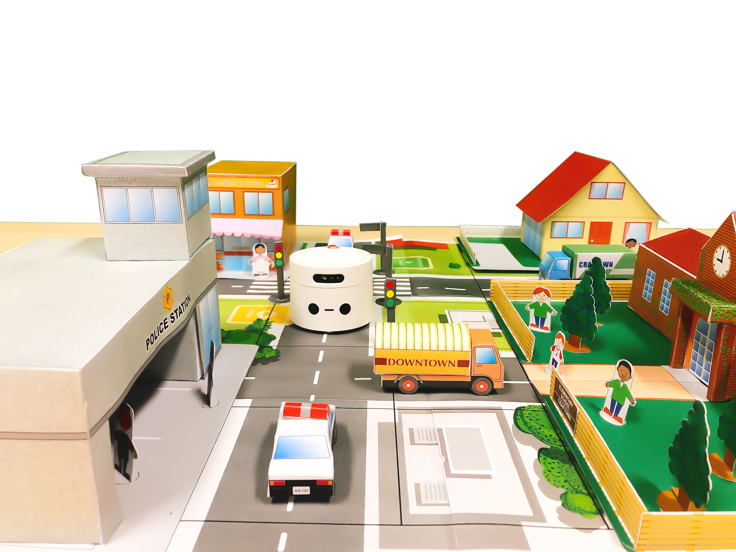
Students develop a general understanding of the school culture, history, layout, and the appearance of each building. They are expected to make a mini school map, design a tour route, prepare a tour guide speech, and code MatataBot to walk on the mini map. Students should introduce the areas where MatataBot walks on using the prepared speech.
- Students learn about the school history and culture, and become able to introduce it to other people.
- Students develop an understanding of the basics of maps, including how to read signs, how to use scales, and how to draw a simplified map for MatataBot to walk on based on the original school map.
- Students complete the tour guide as MatataBot is coded to walk on the map.
- Map: Drawing or representation usually on a flat surface of a whole or part of an area.
- Grid: Arrangement of letters and numbers on vertical and horizontal lines that allow one to locate a precise location on a map.
- Coordinate: Set of values that show an exact position.
- Coordinate plane: Two-dimensional surface with two intersecting and perpendicular number lines on which points are plotted and located by their x and y coordinates.
- Ordered pair: Pair of numbers used to locate a point on a coordinate plane. An ordered pair is written in the form (x, y) where x is the x-coordinate and y is the y-coordinate.
- Sequence: Ordered set of numbers, shapes or other mathematical objects, arranged according to a rule.
Student know how to use Matatalab Lite programming mode to program and control the movements of MatataBot.
CSTA (3-5):1B-DA-06, 1B-AP-08, 1B-AP-09, 1B-AP-10, 1B-AP-11, 1B-AP-12, 1B-AP-15, 1B-AP-16, 1B-IC-20
ISTE: 1a, 1c, 1d, 3a, 3d, 4a, 4b, 4c, 4d, 5a, 5b, 5c, 5d, 6a, 6c, 6d
Detailed Lesson Plan
Task Releasing: provide MatataBot with a school guide and show the guided tour to the class after finishing coding.
1.Introduce the history of the school, and organize students to finish resource research, visit the school, and observe and take photo of each building at campus.
1.Each group draws a small-size campus on a blank map according to the scale of the school layout.
2.Each group creates simple three-dimensional paper models of school buildings and paste them on the map.
3.Students design a tour route, prepare a tour guide speech, and code MatataBot to travel on the map.
Each group shows to the whole class how they program and control MatataBot to walk on the map, and what they say to MatataBot during the guiding.
Essential questions:
- Have your group completed this task?
- Which school location do you think is the most popular? Why?
- What information did you refer to when writing the tour guide speech?
- Which was the most difficult part during the whole project?
- How did your team divide the work to complete the mini school map design?
- Have you encountered any other problems in creating the touring movement program for MatataBot? How did you work it out?
Coding Set or Matatalab Lite
School floor plan, Ruler, Watercolor brush, Colored paper, cardboard, Lego and other materials that can be used to build small houses.
Large white paper for drawing grid maps.
